
![]()
Mapping Heath Management
Observing Mowing Effects from Drone Surveys
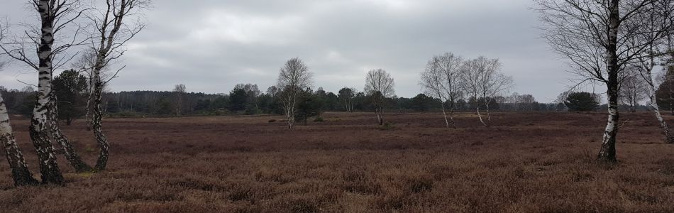
Drones can be used to spatially map small areas frequently. Thereby, different aqcuisition times allow for a monitoring of rapid change processes that are a consequence of an intense habitat management regime. In the Kyritz-Ruppiner heathland we can make visible small scale management effects induced by mowing, burning and tree removal from above.


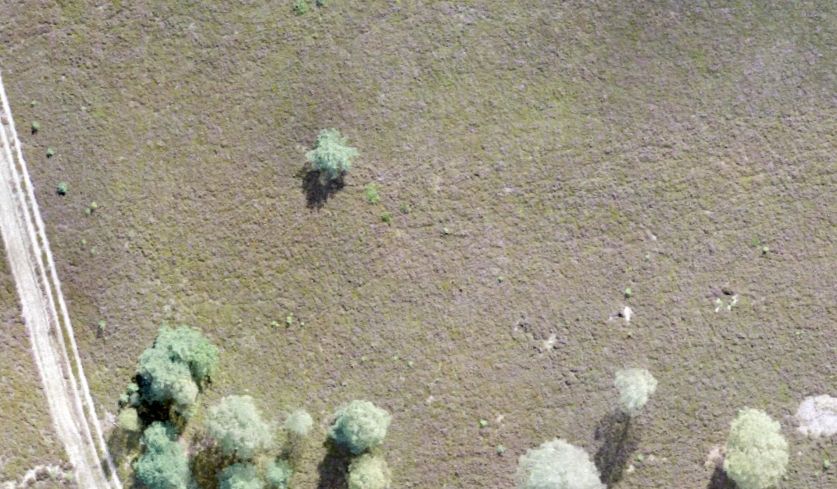
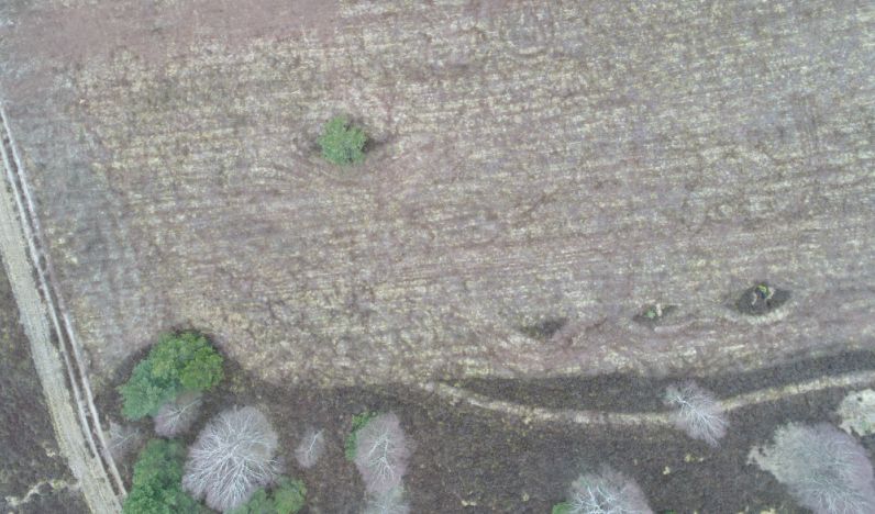
Different acquisition times reveal different perspectives on the vegetation canopy. The left image down shows a typical old heathland area that was mapped in September 2017. In the right picture down, one can see the dramatic vegetation change after mowing in March 2018.
Perspectives for the Mapping of Animal Species Habitats
Can we also see the first insects coming out in spring, like the nymph of this little European field cricket (Gryllus campestris), from our drone imagery? Probably not, however the next steps will be to model their habitat conditions from imagery in order to predict their potential occurence. As seen in the right image, habitats are dircetly influenced by species behavior (cricket digging burrow) or characterized by the plant and soil background.


images & text by Dr. Joerg Mueller, Dr. Robert Behling & Dr. Carsten Neumann