
![]()
Project goals
A reference area for biodiversity research and landscape conservation
Our activities try to bridge the gap between ecological field research and applied conservation practice. The loss of species and habitats worldwide (Living Planet Report) and the legal framework for the protection of valuable natural habitats such as in Natura 2000 areas (Protected Planet Report) are well known. Natural habitats urgently need to be conserved and developed with regard to natural diversity.
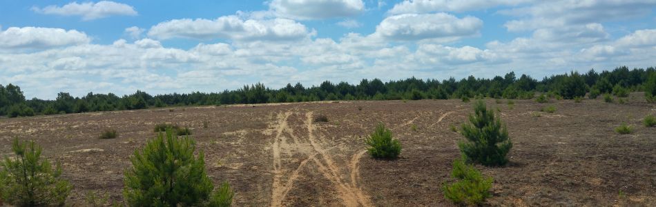
Especially former military training areas have been able to maintain large, unfragmented landscapes that are not influenced by settlements or agricultural activities. After the withdrawal of the Russian armed forces in 1993, citizens’ movements in the Kyritz-Ruppiner Heide campaigned for the peaceful use of the site, so that in 2009 the German armed forces renounced further military use. Two years later, 4.000 hectares in the southern part of the area were handed over to the Heinz Sielmann Foundation as National Natural Heritage for nature conservation use in beneficial interest. In total, the Kyritz-Ruppiner Heide covers an area of 120 km², making it one of the largest heath landscapes in Europe. With spacious areas in which the habitat type of the dry European heath is represented, a huge part has been placed under protection as a Natura 2000 site and is now maintained under special nature conservation aspects.
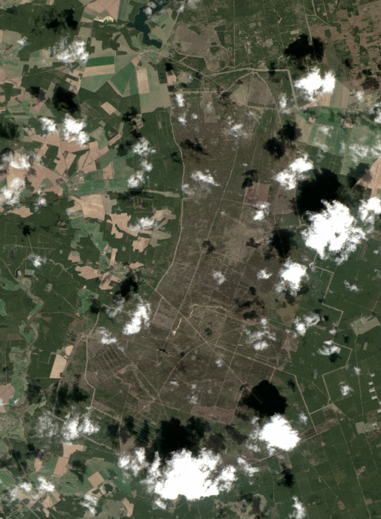
Sentinel-2 satellite imagery time series April-September
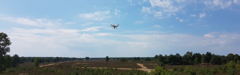
A consortium of nature conservationists, landowners, researchers and the private sector has set itself the goal of meeting this challenge. On the one hand, the Kyritz-Ruppiner Heide is made accessible to the citizens. Nature should be experienced in its diversity in order to create an understanding for the preservation of biodiversity. On the other hand, we want to learn more about how biodiversity is created and use the knowledge gained to care for the heather more efficiently. To this end, we regularly survey the areas using a variety of remote sensing sensors from satellites, aircraft and drones. We want to understand how plant and animal species organize themselves spatially and derive information from this knowledge so that the monitoring of management measures can be simplified and improved.
In general, heather areas are maintained by mowing, burning or grazing, but permanent preservation of these areas is not possible in all three cases. External nitrogen inputs and climate changes make it difficult for new heather plants to establish and prevail over other species. Therefore, we are working on a consideration of the different maintenance methods regarding their success for heather maintenance and financial aspects. Our project works hand in hand with conservation authorities and local environmental groups to transfer the generated knowledge and developed technologies to other former military training areas and similar sites.
Below the structure of the project is presented, that combines different expertise and actors in several areas of work.
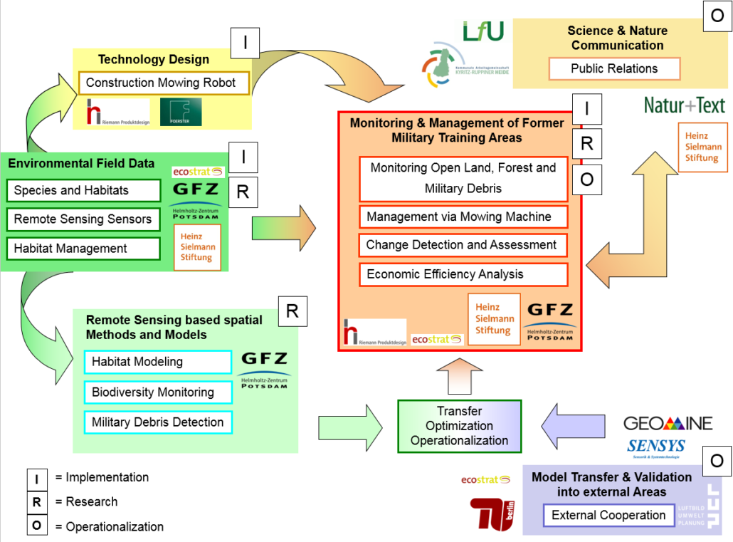
The resulting tasks are divided into ten work packages. Each will be realized in consideration of the network structures together with the concerned actors. Within seven years (start February 2017) the following areas will be developed:
WP-1: Imaging spectroscopy to spatially map the distribution of plant species and assess the conservation status of Natura 2000 heather habitats.
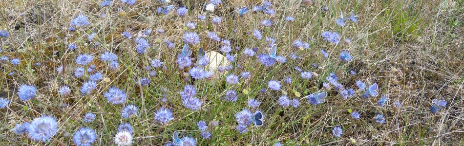
AP-2: Habitat modelling of animal species, especially insects, but also birds and lizards adapted to specific plant characteristics and habitat types.
AP-3: Spatial differentiation of forests and tree species, and characterization of structural richness and undergrowth.
AP-4: Development of a satellite-based monitoring system for mapping and spatial prediction using biodiversity indicators.
WP-5: Development of an autonomous Schoppermachine.
AP-6: Research on remote sensing-based detection of military contaminants and metal residues on the ground.
AP-7: Spatiotemporal analysis of ecological models.
AP-8: Monitoring landscape management effects, optimizing and adapting management strategies to recommend and evaluate conservation practice.
AP-9: Cost-effectiveness analysis on the use of remote sensing, the Schoppermachine and other maintenance techniques.
WP-10: Public relations, especially communication of research results to professional audience and local citizens, tourism promotion via display boards and information events.