
![]()
The spatial mapping of effects using drones
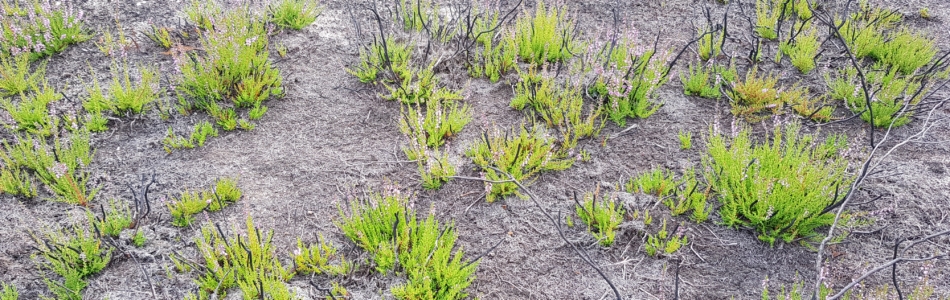
Drones can be used to record areas quickly, inexpensively and repeatedly as aerial images. In doing so, different acquisition times allow monitoring of change processes that occur as a result of landscape management measures or their absence. In the Kyritz-Ruppiner Heide we can visualize such small-scale management effects in different areas. In this way, the effects and success of mowing, controlled fire and tree removal for the management of the heather landscape are presented and analysed via spatial statistics.


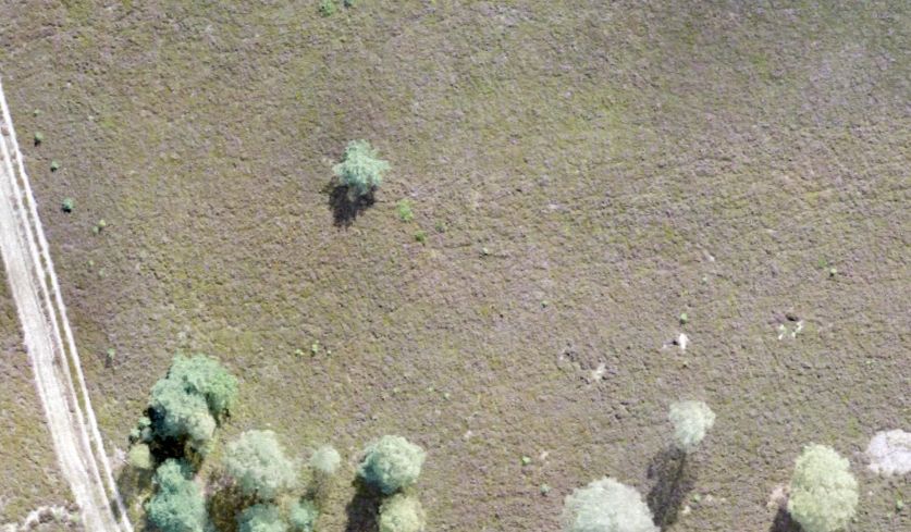
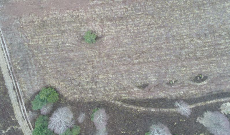
Different recording times open up diverse views of a single heath area. The image below left shows a typical old-growth stand of broom heath, taken in September 2017. The image below right shows the same section after mowing in March of the following year.
Perspectives on wildlife habitat mapping
Can we detect the first insects coming out in spring, such as this little European field cricket (Gryllus campestris), from our drone imagery? Probably this would be too much to expect. Nevertheless, in steps of the project, habitats of different species will be modelled to predict potential distribution ranges. As seen in the right image below, insect species can be mapped via their direct actions (the digging of tubes in the case of the field cricket) or indirectly via habitat characteristics (e. g. soil conditions, forage plants).


images & text by Neumann, Schindhelm