

![]()
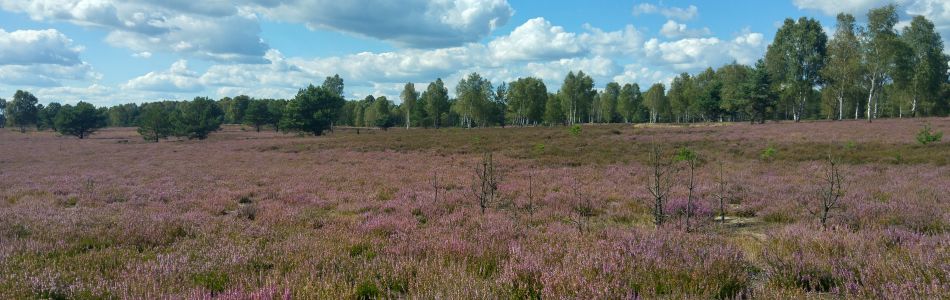
Heath flowering
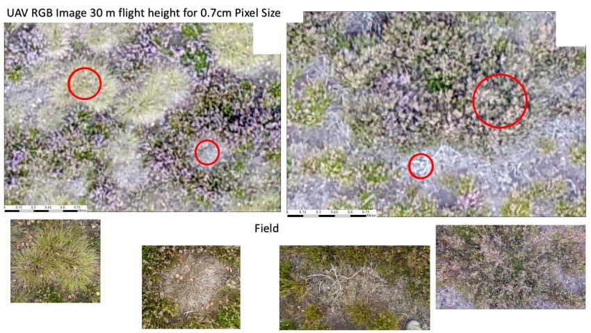
During the maximum blooming phase of Calluna vulgaris, several photographs were taken from heights of 30, 80 and 100 meters on our test field A. An area of ten hectares can be captured in a single image within just 30 minutes. This provides a fascinating insight into the colour diversity of the heather bloom. On the basis of the images, the plants depicted can be found in the field in real time and with precise coordinates, and can be described in terms of vegetation ecology. In addition to the colour of the flowers, the height, the proportion of dead wood, and the number of flowers, buds, fruits and vegetative shoots were determined on selected individual plants and along transects. All other vegetation characteristics were also mapped across the site (soil colour, grass percentage, lichen height and growth form, moss growth form etc.).
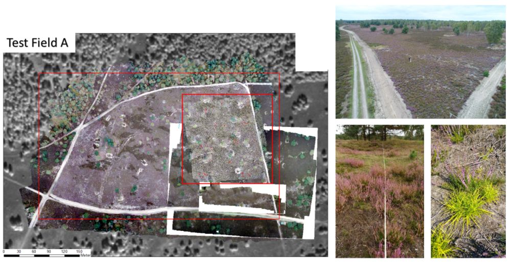
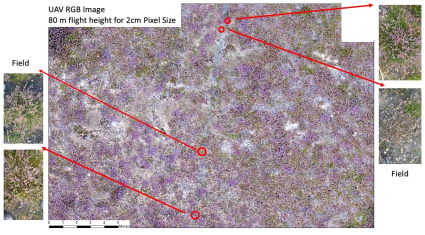
The project allows aerial mapping of plant occurrence and other habitat features at sub-centimetre scales through the use of drones. Even small branches and twigs or individual leaves can be recorded in this way. The composition and conservation status of individual habitats can thus be assessed directly via species and status indicators. The system provides deeper insights into the underlying ecology of processes that define and control a habitat type. Through years of research and analysis, individual habitat parameters have been quantified and predicted across a complete picture. This will also benefit maintenance techniques, as uneven ground and obstacles such as trees, even small pieces of metal or rocks, can be automatically identified on the recorded images. Learn more about digital image analysis here.
images & text by Dr. Carsten Neumann